
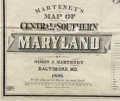
Martenet's Map of Central and Southern Maryland, 1886.
Simon Martenet, born in 1832, excelled as a surveyor, mapmaker, and real estate consultant. By 1867, he had already produced an atlas and a sizable map of Maryland renowned for its precision, prompting the General Assembly to distribute copies to all public schools in the state. His cartographic works were housed at the State Archives date from 1858 to 1886, although it's probable that his maps continued to be produced and circulated until the Great Baltimore Fire of February 7-8, 1904.
