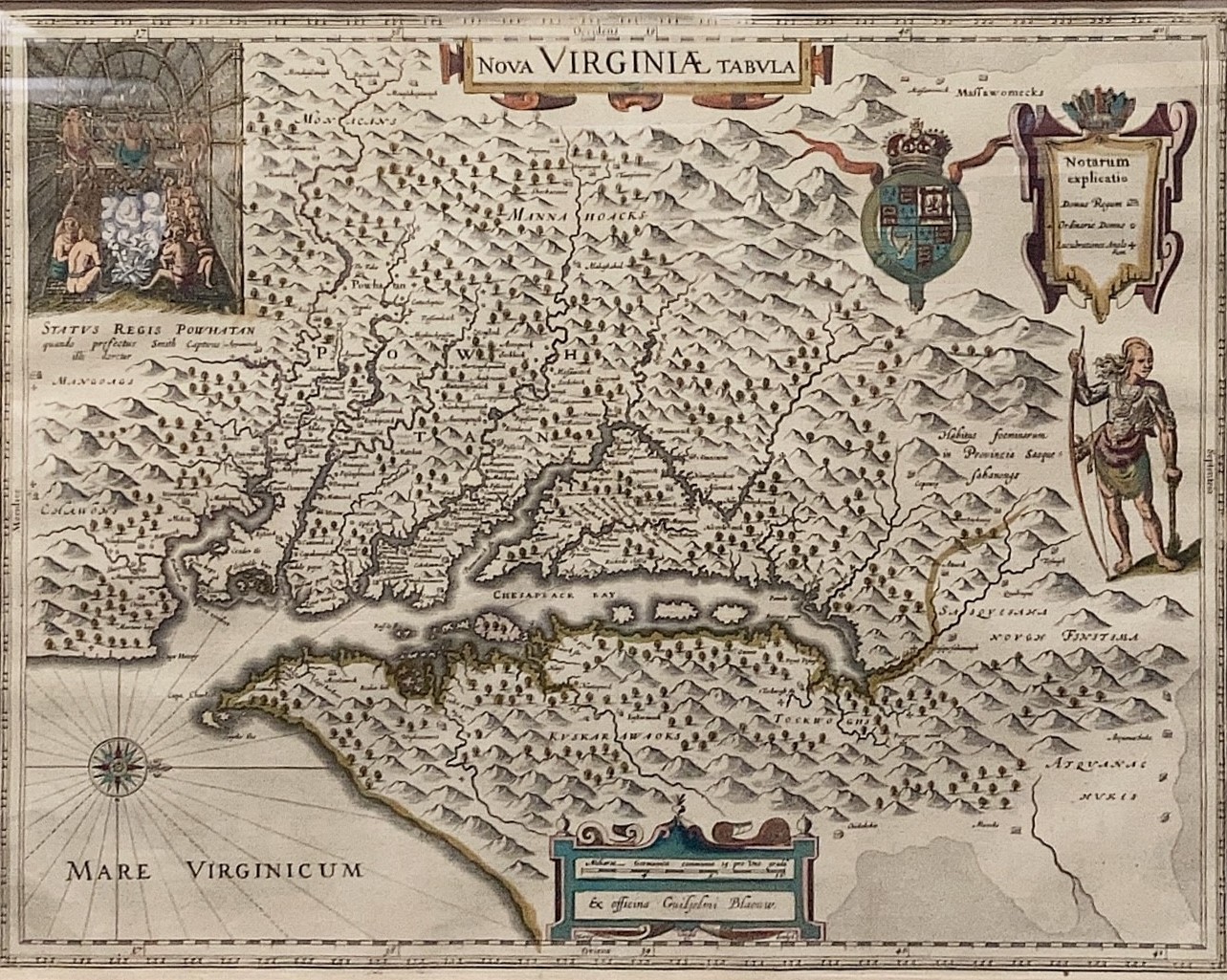
Step into history with this captivating portrayal of Native American Villages in Virginia and the Chesapeake region, crafted in the 17th century by the skilled cartographer Willem Janszoon Blaeu. Inspired by John Smith's map of Virginia, this rendition uniquely positions west at the top and situates north to the side, offering a perspective akin to that seen by a European ship captain arriving on the mid-Atlantic coast.
Blaeu, a revered Dutch cartographer, established his illustrious map publishing company in 1596. His exceptional talents led to his prestigious appointment as the Mapmaker to the Dutch East India Company in 1633, solidifying his legacy as a pioneer in the world of cartography